Aquiring Geodata for Coffee Mapping based on a Pilot Study in the Mbinga District Tanzania. Taking a look at Developing, Comparing and Evaluating different Methodologies
Die Fernerkundung bietet mehrere Möglichkeiten Geodaten über die Umwelt und Vegetation zu gewinnen. Sie ist besonders von Nutzen für Gebiete die unkartiert sind oder sich geographisch stark verändert haben.
Viele landwirtschaftliche Gebiete in Tanzania sind durch Kleinplantagen geprägt und bleiben geographisch unerfasst. Der größte landwirtschaftliche Export des Landes ist der Kaffee der eine Lebensgrundlage für viele Kleinbauern bietet. Eines dieser Regionen ist Mbinga und liegt im Süden des Landes. Der Kaffeeanbau spielt in dieser Gegend eine stetig wachsende Rolle. Leider sind kaum Daten über dieses Kaffeeanbaugebiet vorhanden und aktuelle Karten gibt es auch nicht. Um die Qualität und Quantität des Kaffeeanbaus zu steigern und die Verwaltung zu verbessern, sind effektive und zuverlässige Strategien notwendig um bestmöglich Daten über den Kaffeeanbau zu gewinnen.
Eine Untersuchung von GeoEye und RapidEye Satellitenbilddaten soll überprüfen welche Fernerkundungsmethode sich am besten für diese Aufgabe eignet. Für die jeweiligen Bilddateien werden unüberwachte und unüberwachte Klassifizierungen mit ERDAS IMAGINE durchgeführt und mit Bodenproben verglichen. Die Vorteile einer visuellen Bildinterpretation bilden auch ein Teil der Diskussion und sollen erläutern wie diese Methode angewendet werden könnte. Das Ziel der Arbeit ist es die besten Vorgehensweise der Informationsgewinnung über den Kaffeeanbau in Mbinga festzulegen und diese auf ein größeres Gebiet in der Region einzusetzen.
Remote sensing offers several possibilities of extracting geodata from the environment and its vegetation. It can be especially useful for regions that remain unmapped or have undergone major geographical transformations.
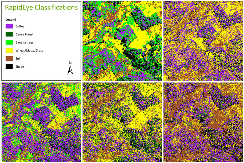
The former is the case in many rural agricultural areas of Tanzania where the landscape is dominated by small-hold farming. The largest agricultural export of Tanzania is coffee and provides a reliable income for many of the coffee farming communities across the country. Mbinga, which lies in southern Tanzania, is one of the nation’s largest coffee growing regions. However, data about coffee production in this area is scarce and there are no current maps available which are up to date. In order to improve coffee farming and planning, it is necessary to find an effective and reliable method for gathering data on coffee production in the region.
This will be done by comparing GeoEye and RapidEye satellite imagery and applying remote sensing tools. A supervised and unsupervised classification shall be applied on each image using ERDAS IMAGINE software. An accuracy assessment comparing groundtruth data with the classification results shall reveal the more effective scenery to be used for this project. In addition, the advantages of an image interpretation shall also be discussed and how it can be applied. The aim is to explore for the most rewarding options and possibilities in obtaining data about coffee plantations in the Mbinga area and to implement this technique on a larger scale.